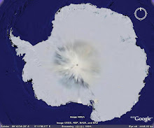
Larsemann Hills is at the Ingrid Christensen Coast of east Antarctic region (69O 24’ 28.8” S latitude and 76O 11’ 14.7” E longitude). It is named after Mr. Larsemann Christensen and is an ice-free coastal oasis at the Prydz Bay, located approximately midway between the eastern extremity of the Amery Ice Shelf and the southern boundary of the Vestfold Hills. The Prydz Bay represents an embayment along the Eastern Antarctic margin, lying between the East Longitudes 660 and 790. The Amery Ice Shelf on the southwestern side and Ingrid Christensen Coast on the southeastern end define its limits. The isolated islands, promontories, peninsulas and nunataks occurring along the continental ice describe the rocky terrain exposed in the area, which, from east to west, fall under Vestfold Hills, Rauer Group, Larsemann Hills and Bolingen Islands respectively.
There are two main peninsulas on the two extremities of the Larsemann Hills, namely the Broknes Peninsula and the Stornes Peninsula. In between these two peninsulas, there are number of islands of varying dimensions and some unnamed promontories. The northern and western sides of Larsemann are dotted by a series of small islands. The satellite imagery of the area indicates open sea on the eastern edge of the Broknes Peninsula. Westwards, the Clemence Fjord separates Broknes Peninsula from Stinear Peninsula and Fisher Island. The area north and westwards is marked by a number of islands, namely Harley, Easther, Breadloaf, Butler, Betts, McLeod, Jeason, Solomon, and Sandercock Island.
The area is marked by persistent, strong katabatic winds that blow from the north-east on most summer days. Daytime air temperatures from December to February at times exceed 4˚C, with the mean monthly temperature a little above 0˚C. The area generally remains snow free. Snow cover is generally deeper and more persistent on Stornes Peninsula than Broknes Peninsula and the present site.
There are several freshwater lakes ranging from small ephemeral ponds to large water bodies. Some of these water bodies are briefly ice-free or partially ice-free in the summer months. For the remainder of the year (8-10 months) they are covered with ~2 m of ice.
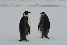
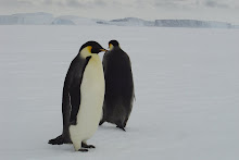
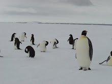
The highest elevation on Larsemann Hills is around 180 m above sea level. The hills are dissected by steep valleys lying between the ice sheet and the coast. The area is devoid of any higher organism and plants except for some sea bird, seals, penguins, algae, lichen and mosses.
Showing posts with label katabatic wind. Show all posts
Showing posts with label katabatic wind. Show all posts
Sunday, May 18, 2008
Monday, April 21, 2008
CONVECTIVE CURRENT DISPERSE MICROORGANISM: EAST ANTARCTICA
The Indian Antarctic station, Maitri is in the Schirmacher oasis of east Antarctica. The oasis is covered with snow/ice; except for the local summer season when it gets deglaciated and exposes the small hilly region. During summer, minute microorganisms are observed near water bodies of this rocky terrain. In the year 1996a monostatic acoustic sounder probed planetary boundary layer dynamics over this region. From the data it is observed that the thermal convection (both free and forced) persist for 5.63% of the time in the whole year. The occurrence of free convection predominates in the local summer season around midday, while sporadic cases of forced convection have been recorded during the autumn and winter seasons. The onset of convection is mainly at 0600 hrs to 1200 hrs, while the cessation period is limited within 1400 hrs to 1900 hrs. The cessation of convection is basically governed by the katabatic wind flow around the Schirmacher region and it indicates that the interior of Antarctica or the polar cap ice becomes cooler much faster than the rocky region of Schirmacher oasis.
Examples taken from the literatures on atmospheric structure and their effects on dispersal of microorganisms and their distribution by the wind are discussed. The study of monostatic acoustic sounder for thermal convections/plumes may form input for the study of dispersal, survival, metabolic activities and dispersion model of microorganisms. The application of convection/plume to aerobiology can also lead to improvements in forecasting, monitoring and understanding the various mechanisms of organism dispersal.
For further reading please refer:
Subscribe to:
Posts (Atom)
Mole Holes!

Weathering of rocks in Antarctica
Rock Weathering
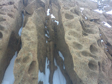
Larsemann Hills Rock Weathering
Hanging Rock
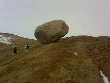
Hanging Rock Larsemann Hills and my friend behind it
Chooper
Chopper on duty
Algae
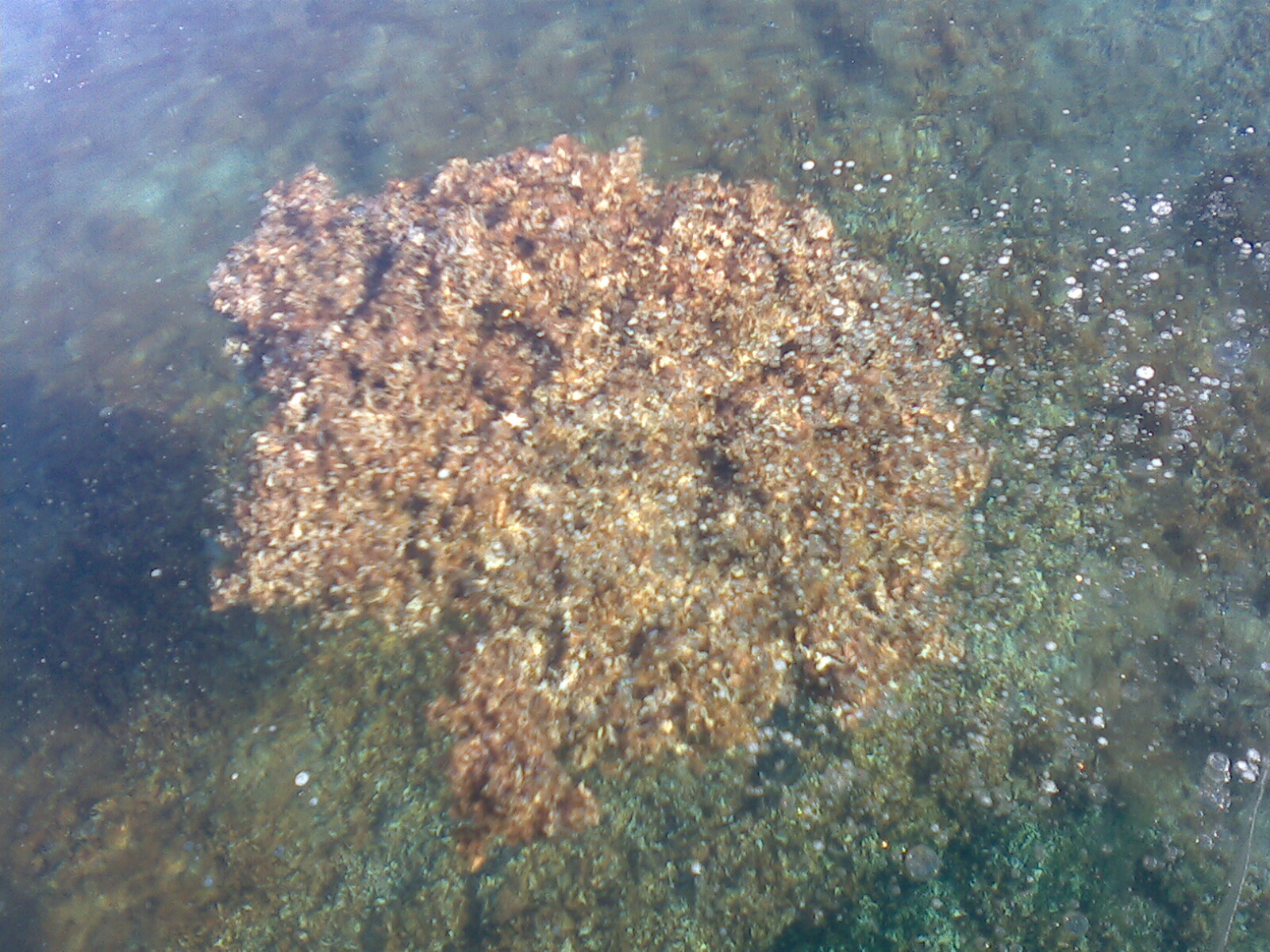
Antarctic Algal Mat
Pancake Ice
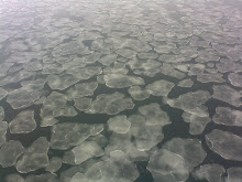
Antarctic Pancake Ice